Cessna 172 near Skwentna, AK — 2019-03-07
- Date
- 2019-03-07
- Location
- Skwentna, AK, USA
- Aircraft
- Cessna 172
- Registration
- N7469A
- Category
- Airplane
- Highest injury
- Fatal
- Fatalities
- 1
- Phase of flight
- Climb
Probable cause
The pilot’s decision to depart into marginal visual flight rule conditions in mountainous terrain with the potential for icing, and the airplane’s accumulation of structural icing, which resulted in the pilot’s inability to maintain airplane control and the subsequent aerodynamic stall and spin into terrain.
NTSB narrative
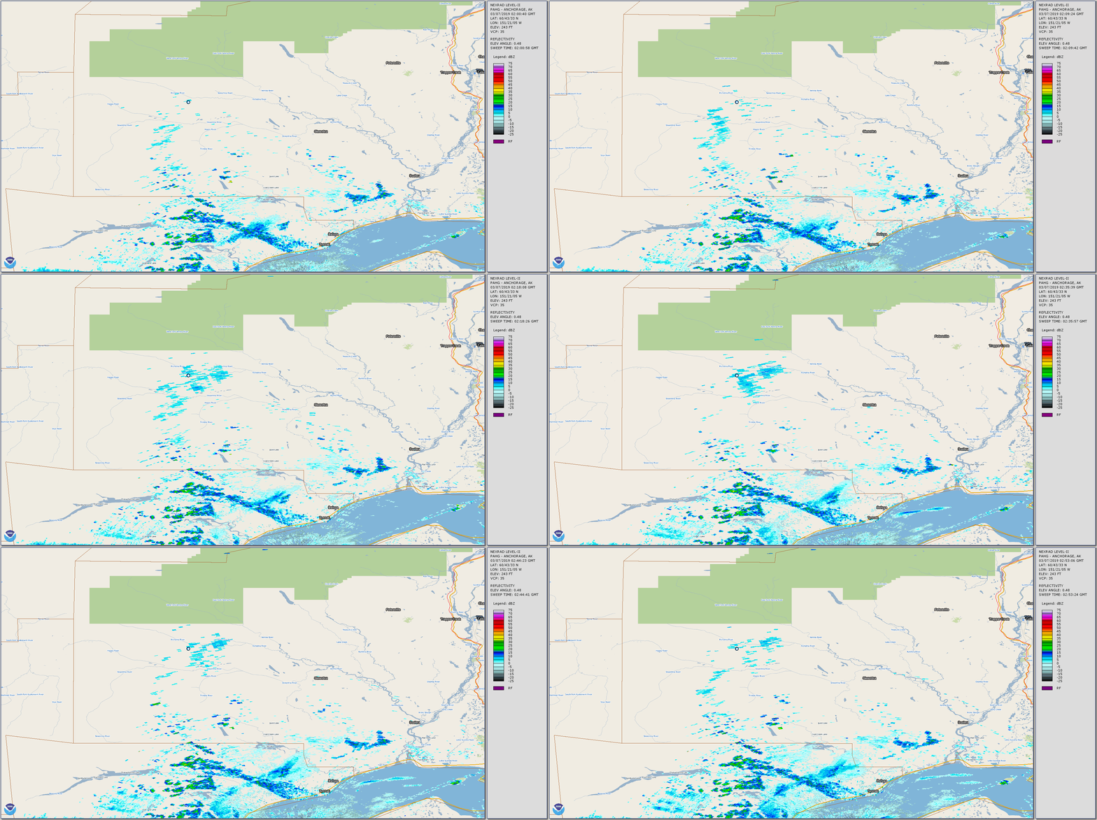
The pilot was conducting a cross-country flight through mountainous terrain from a hunting camp to his home airport. Forecast products and AIRMETs that were valid for the flight route indicated that mountain obscuration, marginal visual flight rules, instrument flight rules, and moderate icing conditions were expected. A friend of the pilot stated that snow showers began at the departure site shortly before the airplane departed. The radar track indicated that the pilot initially flew low through a mountain valley, about 4,000 ft mean sea level (msl) (2,500 ft above ground level), and then climbed to 6,900 ft msl while tracking east toward the destination. The last recorded radar data target indicated an altitude about 1,000 ft above the nearest mountain peak. When the airplane did not arrive at the destination, an ALNOT was issued and an extensive multi-agency search was conducted over the snow-covered mountain range; the search was terminated about 2 weeks later when the wreckage was not found. More than 4 months later, after the snow melted, the wreckage was discovered on a mountain ridge about 15 miles east of the last radar return point. A postaccident examination of the airframe and engine revealed no evidence of mechanical malfunctions or failures that would have precluded normal operation. The damage to the airplane indicated that it impacted the ground in a nose-down, near-vertical attitude with a rear fuselage twist, which was consistent with an aerodynamic stall and spin. A review of satellite imagery, sounding data, and radar reflectivity over the accident site revealed that an overcast cloud layer with approximate cloud-top heights of 20,000 ft was present at the accident time. Moderate rime icing conditions and light precipitation were likely present. Weather camera images near the accident site indicated obscured mountaintops in broken to overcast cloud layers. Given the weather information, it is likely that structural icing accumulated during the flight, resulting in the pilot's inability to maintain airspeed and/or altitude, which resulted in an aerodynamic stall and spin. A search of official weather briefing sources revealed that the accident pilot did not request a weather briefing, and whether the pilot accessed weather information before the flight could not be determined.
Analysis
- Primary failure mode
- Spatial disorientation
- First missed decision gate
- Pilot should have avoided flight in deteriorating weather conditions.
NTSB coding
Evidence available
- 10 docket documents
Docket documents10
- NTSB AIRFRAME AND ENGINE EXAMINATION SUMMARYother
- RAINY PASS AND ROHN WEATHER OBSERVATIONSother
- RECORD OF CONVERSATION (FRIEND OF PILOT)other
- RECORD OF CONVERSATION (PILOT'S NEXT OF KIN)other
- WEATHER - ATTACHMENT 1other
- WEATHER - ATTACHMENT 3other
- WEATHER - ATTACHMENT 4other
- WEIGHT AND BALANCE COMPUTATIONSother
- WEATHER - ATTACHMENT 2radar
- WEATHER STUDY REPORTreport
Related mishaps
- CIRRUS DESIGN CORP SR22T
2025-12-23 · Lake Elsinore, CA
- PIPER PA28
2024-06-10 · Clinton, MI · 1 fatality
- EXTRA FLUGZEUGBAU GMBH EA 300/L
2024-05-19 · Bandera, WA · 1 fatality
- Gulfstream Corporation 695A
2024-04-14 · San Bernardino, CA · 1 fatality
- CESSNA 172
2023-10-31 · Pembroke Pines, FL
- ROBERT L THURMOND RV8
2023-10-10 · Centerville, UT · 1 fatality